Sent into space on August 17, 2011 as our first domestic observation satellite, RASAT's 2D map of Turkey will be made available online this year.
The RASAT satellite, which was designed and produced domestically by TÜBİTAK Space Technologies Research Institute (TÜBİTAK UZAY), captured images of a total area of 3 million 856 thousand square kilometers around the world during its mission. This area corresponds to approximately 5 times the surface area of Turkey, which is 783 thousand square kilometers. RASAT, which can take 7.5 meter resolution photographs from the Earth, transmits the images it takes to TÜBİTAK UZAY's ground station in Ankara. Turkey's two-dimensional satellite image database was created with the images taken by the national satellite. The database is becoming richer every day with new images taken to ensure currency.
50 Public Institutions and Universities Use RASAT Images
The images obtained from RASAT are used in mapping, disaster monitoring, agriculture, environment, urban planning and urban planning. TÜBİTAK UZAY is working with public institutions, universities and the private sector in order to meet the needs of satellite images previously obtained from foreign satellites with RASAT. Satellite images are provided to many public institutions and organizations, including the Prime Ministry Disaster and Emergency Management Presidency, Turkish Petroleum Corporation, Mineral Research and Exploration Authority. In addition to these institutions, satellite image requests of 50 different public institutions and universities and dozens of private sector organizations were met in 2013.
RASAT's Turkey Map to be Available on the Internet
Within the scope of the Geoportal Project initiated with the support of the Ministry of Development, TÜBİTAK UZAY will make the satellite imagery service it provides to our country accessible over the internet. In this context, the necessary infrastructure works for the RASAT internet portal have been completed to a great extent. With the portal, which is planned to be put into service this year, it will be much easier and faster for citizens to access the images obtained by the RASAT satellite.
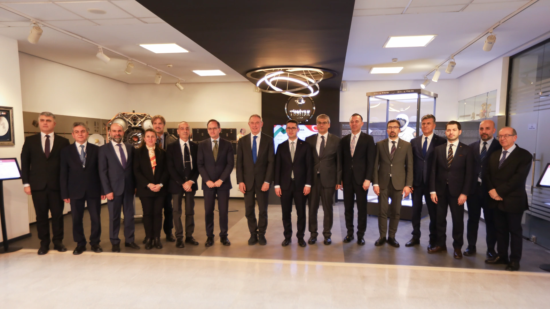
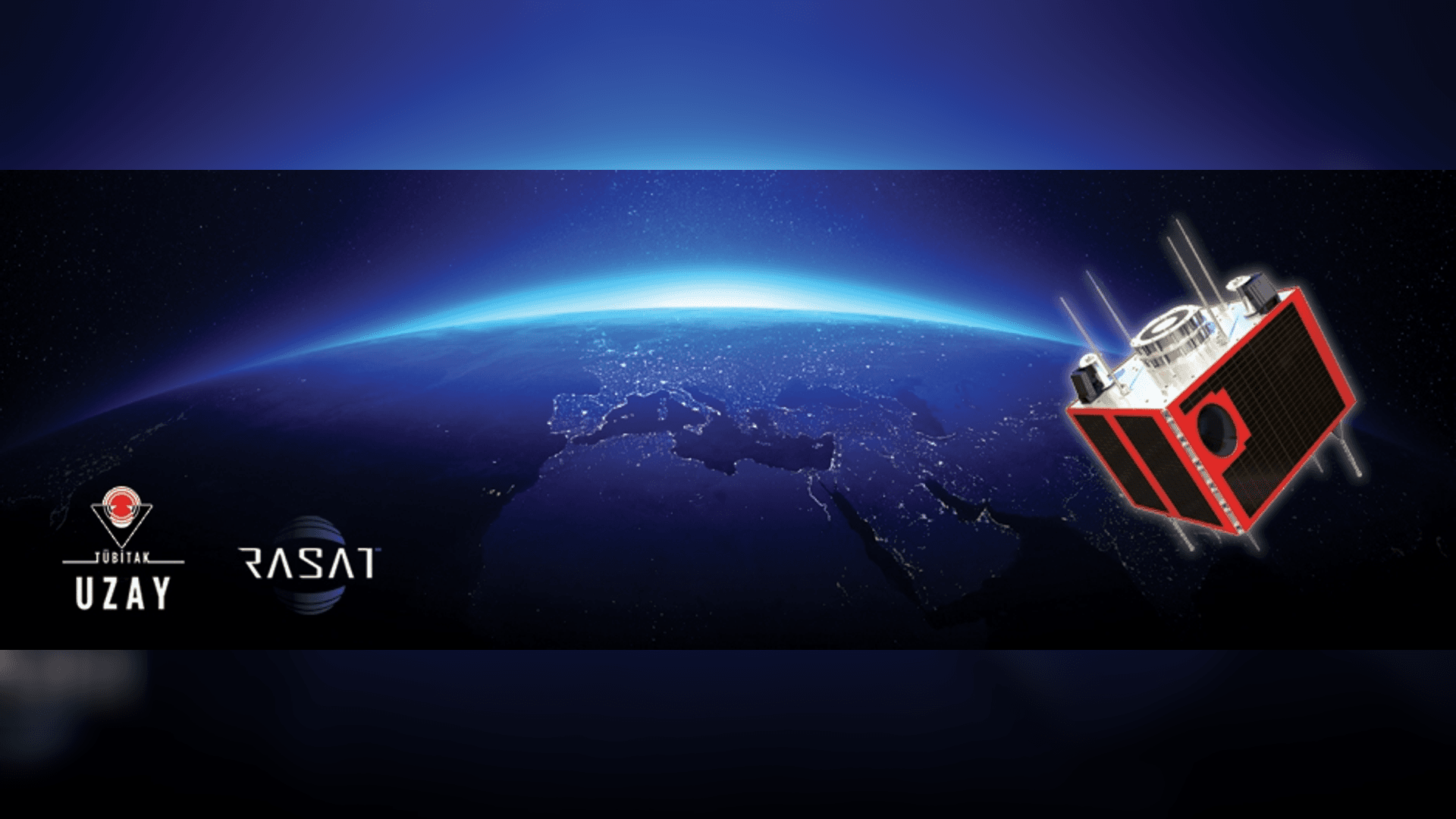
The Touchstone of Indigenous Space Projects: RASAT
Sent into space in 2011, RASAT became a milestone for Turkey's space projects. The system engineering and system design of the satellite was carried out by TÜBİTAK UZAY engineers without any support from abroad. The satellite uses the locally designed and produced BiLGE satellite mission computer, T-REKS X-Band communication system and GEZGİN real-time image processing modules. With a 7.5 meter black and white and 15 meter color imaging capability, RASAT weighs 93 kg and can take images from anywhere in the world without any restrictions. The satellite, which is 700 kilometers above the earth's surface, circles the globe in 98 minutes.
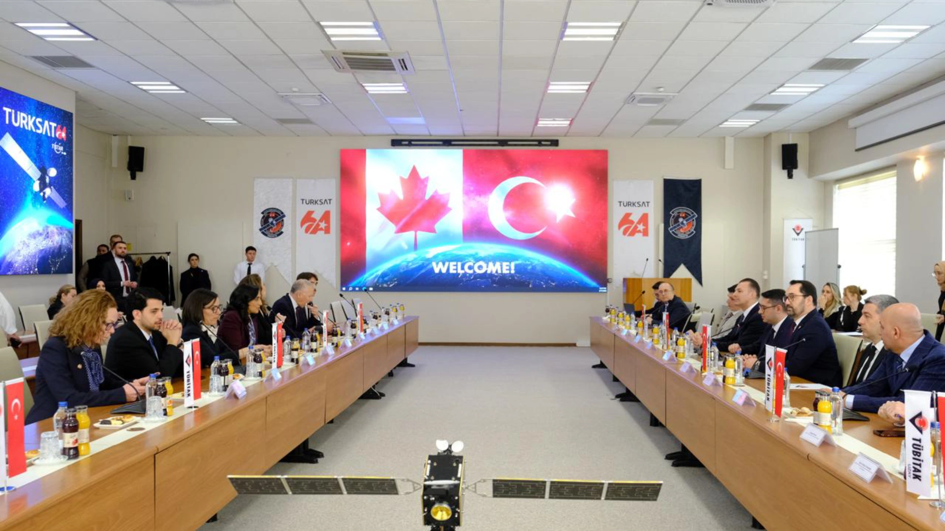
Following RASAT, TÜBİTAK UZAY sent GÖKTÜRK-2, Turkey's high-resolution domestic reconnaissance satellite, into space on December 18, 2012.