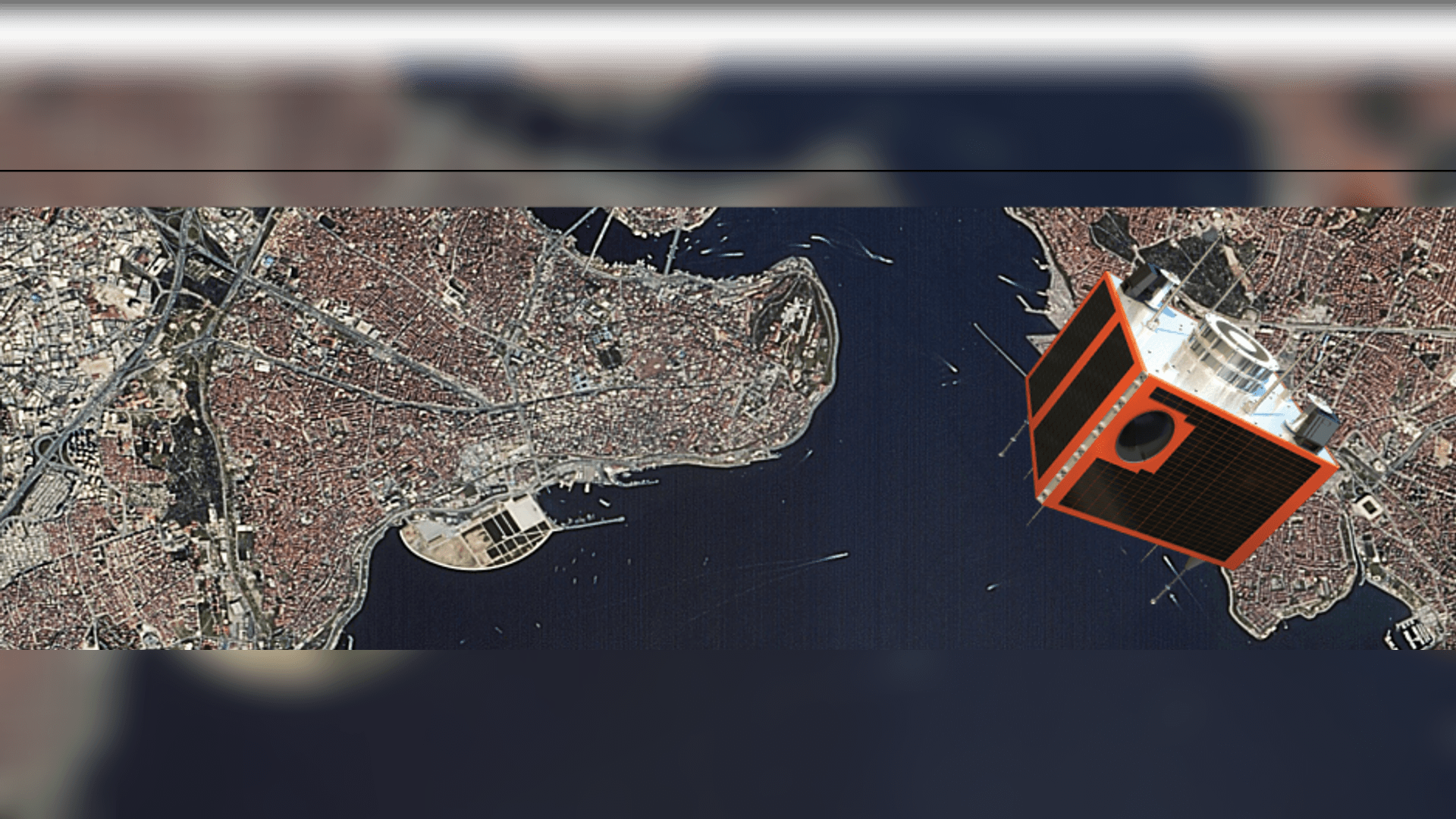
RASAT Earth Observation Satellite is the second remote sensing satellite owned by TÜBİTAK UZAY Technologies Research Institute after BİLSAT Satellite. RASAT, the first earth observation satellite designed and built in Turkey with the support of the Ministry of Development, was launched from Russia on August 17, 2011.
The RASAT Satellite, which successfully completed its fifth year in orbit as of August 17, 2016, despite having a design life of three years, made 26 724 orbits around the Earth, scanned an area of 11 million square kilometers and transmitted 1800 strip images to the ground station.
The RASAT satellite is in a circular orbit synchronous to the Sun at an altitude of 700 km. It has a 7.5 m black and white, 15 m multi-band spatial resolution pushbroom camera.
With an average revisit time of 4 days, RASAT can be controlled in 3 axes. The dimensions of each frame image are 30 km X 30 km and it can acquire strip images up to 960 km in length.
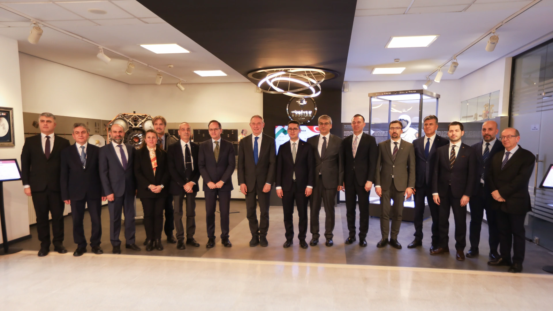
Within the scope of the project, satellite assembly, integration and test laboratories have been expanded, more than 100 experts have been trained in satellite design, production and testing, and Turkey has become a country that has a say in satellite technology with RASAT, our national observation satellite, which was designed and produced entirely by Turkish engineers in Turkey and launched in 2011. TÜBİTAK UZAY has also demonstrated that it has the system design and integration capabilities to ensure the realization of a satellite project from start to finish. The High Performance Flight Computer (BiLGE), 100Mbps X-band Transmitter and Real-Time Image Processing (GEZGİN-2) equipment, as well as indigenous flight and ground station software, have been successfully operated and have contributed to the history of space. In this way, TÜBİTAK UZAY has demonstrated its competence not only at the system level but also in subsystems.
Thanks to RASAT's orbital capability, images can be taken from anywhere on Earth.
The raw images downloaded from the RASAT Satellite are transferred to the GEZGİN Portal after geometric and radiometric corrections and coordinatization.
RASAT images are used in areas such as cartography, disaster monitoring, forestry and urban planning.
www.gezgin.gov.tr by connecting to the GEZGİN Portal at
- Search by drawing,
- Search by boundaries,
- Search by place name,
- Search by entering coordinate information,
- Search by uploading a file
features, you can download images of the desired area quickly and easily.