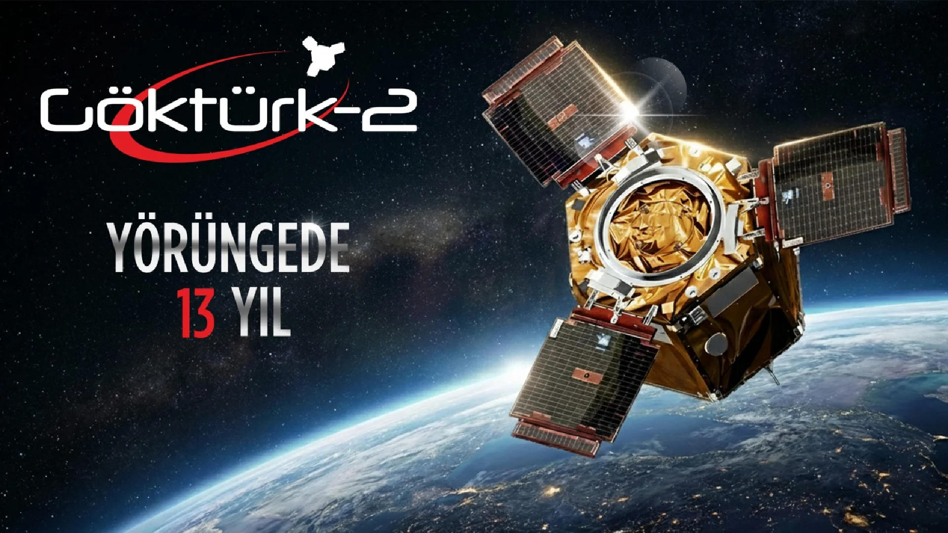
GÖKTÜRK-2 Satellite, produced by Turkish engineers and technicians in partnership with TAI under the leadership of TÜBİTAK Space Technologies Research Institute, continues to provide important satellite images for the needs of the Turkish Armed Forces and public institutions after its launch on December 18, 2012.
With a 5-year design life, GÖKTÜRK-2, Türkiye's first high-resolution national reconnaissance satellite, is celebrating its 11th year in orbit as of today. With a resolution of 2.5 meters and a high localization rate, our satellite continues its mission in a sun-synchronous orbit at an altitude of 685 kilometers.
Since its launch, GÖKTÜRK-2 has been providing the Air Forces Command Ground Station with important images from around the world, while also providing valuable satellite images to public institutions in areas such as environment, urban planning, agriculture and forestry.
With the experience gained from GÖKTÜRK-2, important steps have been taken to reduce Türkiye's dependence on foreign countries. The İMECE Satellite, which was launched last April, continues to provide service with its sub-meter resolution camera, while the final tests are underway for the upcoming launch of TÜRKSAT 6A, which will be Türkiye's first national communication satellite.


