
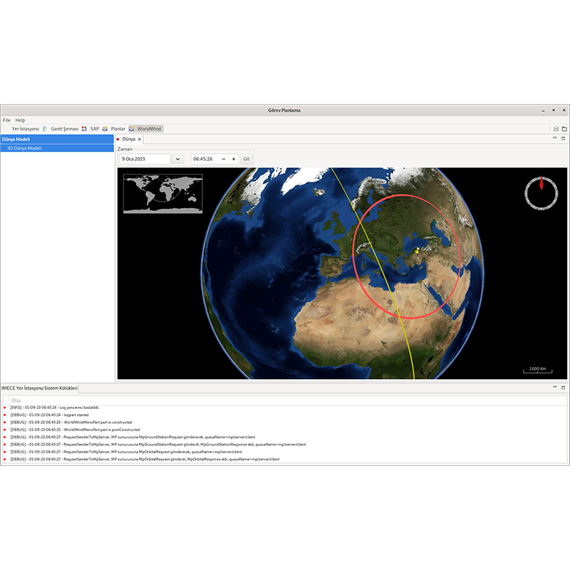
It is used for pre-transit planning of the missions to be performed by imaging satellites. After the evaluation of user requests, shooting opportunities are calculated and imaging and download plans are prepared:
Task-specific customization through the use of an independent task database
Operation as single, cold or hot redundant
Server-client architecture, multi-client usage
User management and authorization
Linux operating system usage
Task-oriented customization with microservice architecture
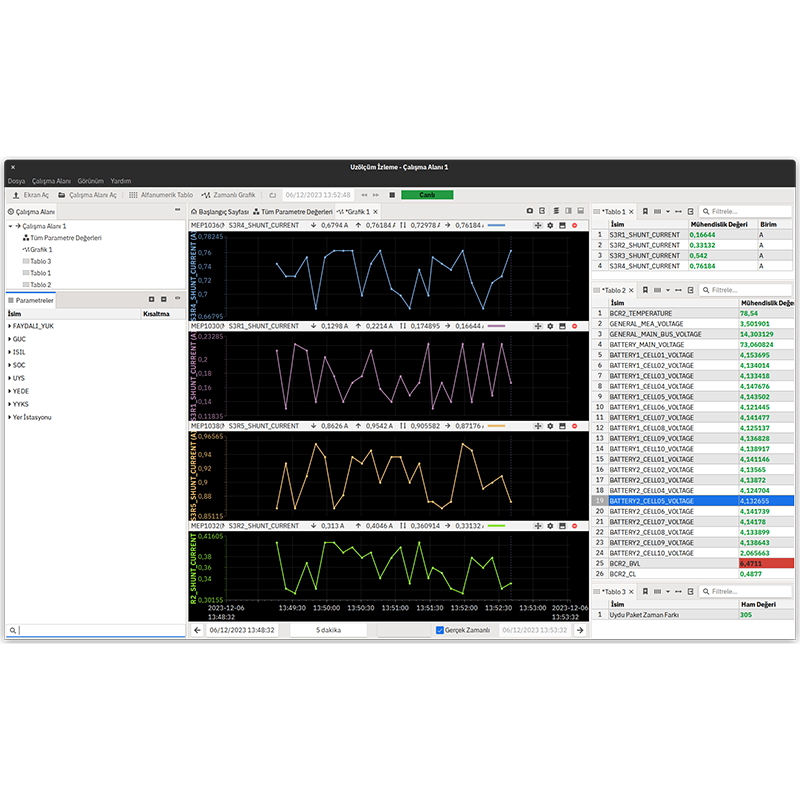
It provides communication with satellite or spacecraft through ground station equipment. It is used for health status monitoring and control, loading of missions to be performed, execution of real-time operations and retrieval of payload data:
Task-specific customization through the use of an independent task database
Operation as single, cold or hot redundant
Server-client architecture, multi-client usage
User management and authorization
Use with Linux operating system
Task-oriented customization with microservice architecture
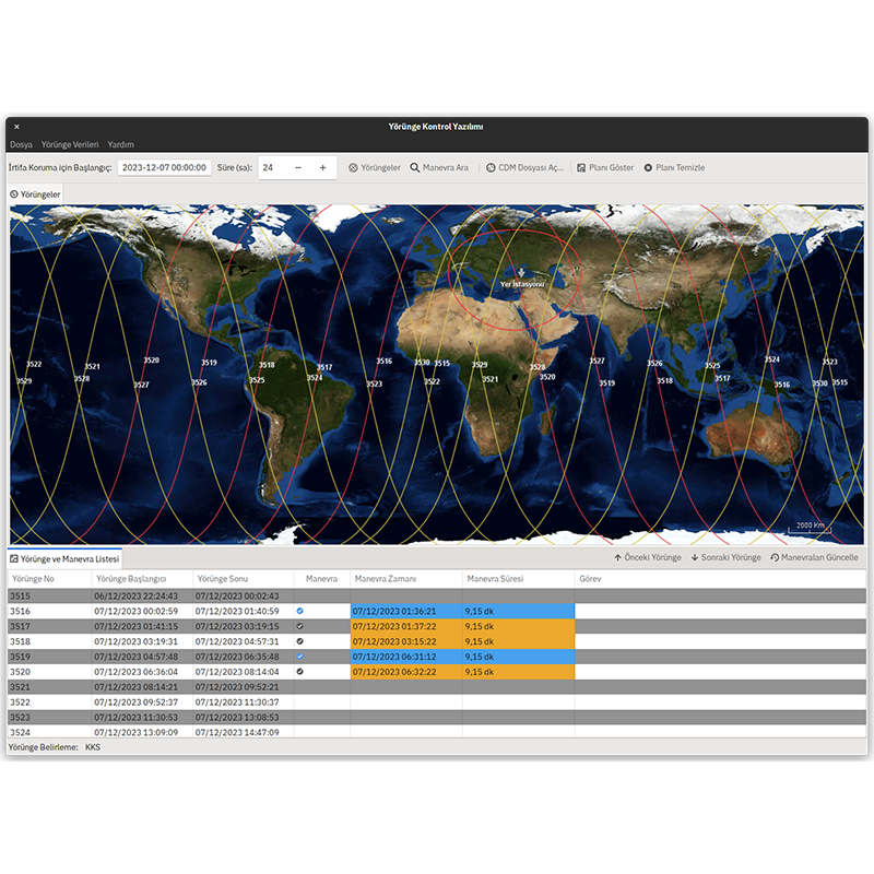
Orbit Control Software enables the determination and advancement of the orbits of satellites and spacecraft and the planning of orbital operations. It performs orbit determination, advancement, maneuver calculation and verification.
Operation as single, cold or hot redundant
Server-client architecture, multi-client usage
User management and authorization
Use with Linux operating system
Task-oriented customization with microservice architecture
It is used for processing the image data obtained as a result of the missions performed by imaging satellites up to Level 2. Decryption, decompression, radiometric calibration and geometric calibration of the images are performed. The processed images are transferred to an independent catalog system.
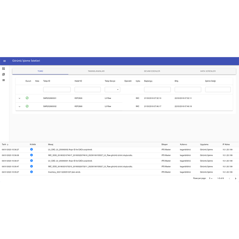
Algorithm integration with modular architecture
Dynamically add and remove worker servers
Server-client architecture, multi-client usage
User management and authorization
Use with Linux operating system
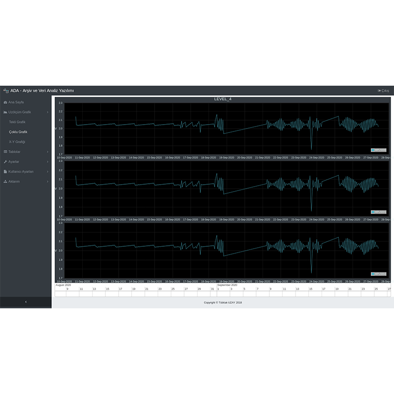
It archives the command-space measurement communication with the satellite/spacecraft through the Command and Control software in the database on a long-term basis. It creates statistical data by summarizing the archived space measurement data at various levels. It enables the archived data to be analyzed with graphs and tables.
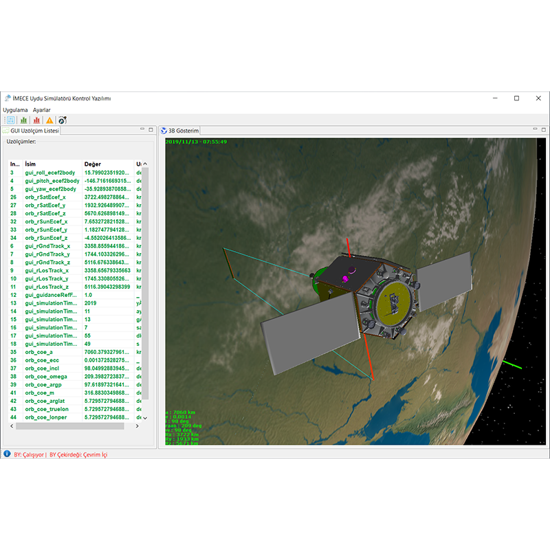
Simulates nominal and critical operations of satellites. It simulates the dynamic environment, runs the flight software and enables it to be controlled with ground software. Failure conditions are created and fault detection and debugging scenarios and critical operations are tested.