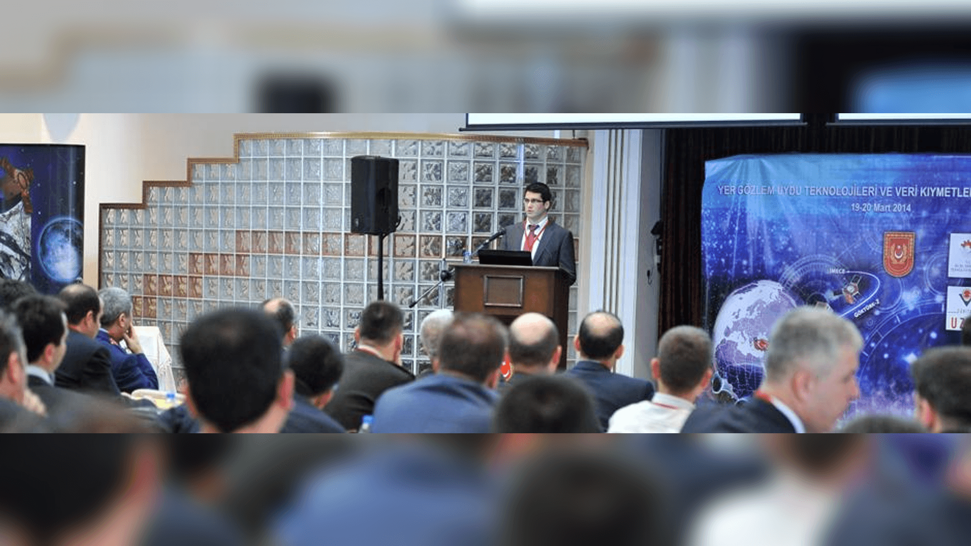
The "Earth Observation Satellite Technologies and Data Valuation Workshop" was held on 19-20 March 2014 in cooperation with the Ministry of National Defense, the Ministry of Development, the Ministry of Science, Industry and Technology and TÜBİTAK UZAY Institute.
The Workshop, which was held at the Civil Servant Training and Social Services Command in Ankara, was attended by Judge Brigadier General Akif Vurucu, Deputy Undersecretary of the Ministry of National Defence; Brigadier General Mustafa Avcı; Prof. Dr. Abdullah Çavuşoğlu, Vice President of TÜBİTAK; Özgür Kadir Özer, Head of the Department of Research, Development and Entrepreneurship at the Ministry of Development; Recep Uzungil, Head of the Department of Corporate R&D Support at the Ministry of Science, Industry and Technology; Fatma Çalışkan, Head of the Industrial Department of R&D Support at the Ministry of Transport, Maritime Affairs and Communications; members of the scientific committee of the Workshop and officials from relevant institutions.
Within the scope of the Workshop, Onur Haliloğlu, Deputy Director of the Institute, made a presentation on New Generation Satellite and Satellite Subsystem Design Studies in Turkey. The topics such as "Valuation of Remote Sensing Data", "Use of Satellite Images in Agriculture, Forestry and Water", "İMECE Project Subsystem Projects", "Use of Satellite Images in Geology, Mining and Archaeology", "Use of Satellite Images in Environment and Urban Planning" were also discussed.
At the workshop, where completed and ongoing domestic projects in the field of earth observation satellite technologies were presented, Turkey's current situation in technologies for earth observation satellites was revealed. In this context, it is aimed to determine short and long-term targets and to prevent duplicate investments in projects planned to be supported as R&D projects.
It is aimed to determine the activities that can be carried out by public institutions and organizations, especially using satellite images, such as damage assessment after earthquakes and forest fires, vegetation analysis and geological analysis, and to reveal the necessary infrastructure needs, to increase the level of domestic technological readiness, to share government incentives and current planning within the scope of R&D projects and infrastructure installation for satellite and satellite subsystems among relevant institutions and organizations.