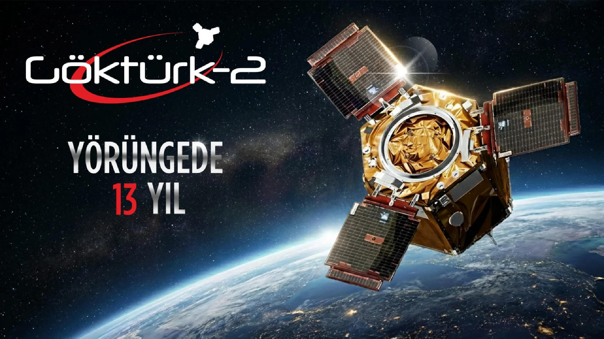
RASAT, which was launched into space on August 17, 2011 as Turkey's first domestically built earth observation satellite, has successfully completed its first year in space.
RASAT, designed and manufactured by TÜBİTAK UZAY using domestic resources, has been on duty in space for a year. RASAT, which can photograph a desired region of the world with a resolution of 7.5 meters, transmits the images it takes to the ground station in the institute's building on the METU campus.
RASAT, which will create a two-dimensional map of Turkey within the scope of its mission, will complete the map by the end of this year with 1,200 satellite images. TÜBİTAK UZAY will share two-dimensional images of Turkey with public institutions and organizations in need as of the end of the year. In this field, the Institute continues to work within the scope of cooperation protocols with institutions such as the General Directorate of State Hydraulic Works and the General Directorate of Mineral Research and Exploration.
Users Will Be Able to Order Images from Space
Following the 2D mapping studies, RASAT will also make 3D terrain models of Turkey available for use next year. With the web-based interface to be developed on the indigenous software platform, users will be able to instantly view the images taken, order current images and download the images they want. Thus, with RASAT, Turkey's external dependence on satellite technologies, especially in collecting data on other countries, will be minimized.
Crossing Borders with RASAT
Until now, only domestic images could be taken with the help of airplanes in order to create terrain models, but with RASAT, images of any desired location can be accessed. Thanks to RASAT, Turkey also has the ability to create a 3D terrain model of any desired location in the world.


