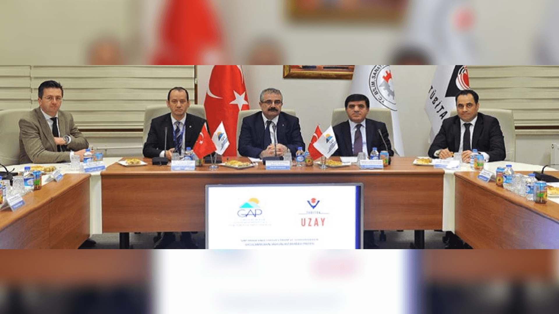
Within the scope of the "Project for the Dissemination of Precision Agriculture and Sustainable Practices in the GAP Region", a cooperation protocol and project contract signing ceremony was held between the Southeastern Anatolia Project (GAP) Regional Development Administration and TÜBİTAK UZAY Technologies Research Institute on 12 December 2014.
The ceremony was attended by Sadrettin Karahocagil, Head of Development Administration Department, Dr. Lokman Kuzu, Director of TÜBİTAK UZAY Institute and Prof. Dr. Abdullah Çavuşoğlu, Vice President of TÜBİTAK.
Speaking at the signing ceremony, Prof. Dr. Abdullah Çavuşoğlu, Vice President of TÜBİTAK, stated that the first thing that comes to mind when it comes to space is space and said, "However, space technologies are more concerned with the ground and contribute to our daily lives. TÜBİTAK UZAY has gained important experiences in the context of earth observation and transfers these experiences to public institutions and organizations. With this project, traditional agriculture will be supported by space technologies. We will save the resources of our country from being wasted. With the results of this project, we will use human resources in the most efficient way. Thus, support will be provided to increase welfare. I believe that this project will break new ground in the agricultural sector."
In today's world where the population is rapidly increasing and resources are constantly decreasing, studies on food safety have gained importance. The use of technologies called precision agriculture in agricultural production is increasing in the world with the developing technology. The project aims to transition from traditional agricultural practices to precision agriculture practices with the use of aviation and space technologies in our country.
Within the scope of the project, precision agriculture practices will be developed by analyzing agricultural areas with images taken from satellites and aerial platforms. A detailed analysis of the crops grown in the GAP region will be carried out using multispectral satellite imagery and hyperspectral imagery from aerial platforms, especially from our national satellites RASAT and GÖKTÜRK-2. As a result of these analyses, the crops planted on agricultural lands, yield estimation, soil fertilizer needs, irrigation needs, and plant disease status will be determined. The project will be carried out in cooperation with all relevant institutions and organizations that produce information and technology in this field.