Uzay Teknolojileri Araştırma Enstitüsü
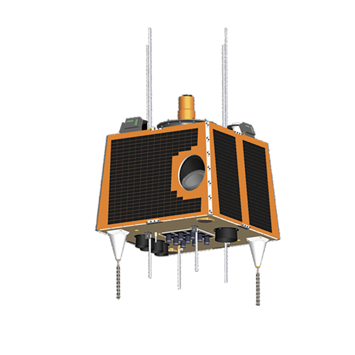
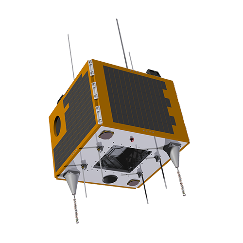
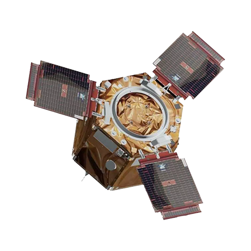
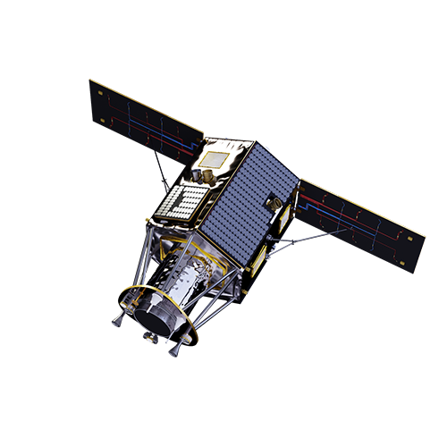
TÜBİTAK Uzay Teknolojileri Araştırma Enstitüsü, geliştirdiği RASAT, GÖKTÜRK-2, İMECE, TÜRKSAT 6A uyduları ile ülkemizin uzay alanında lider kuruluşudur. TÜBİTAK UZAY, 20 yılı aşkın bir süredir faaliyet gösterdiği bu alanda, yerli ve millî tarihçeli operasyonel uydu sistem ve alt sistemleri geliştirmektedir.
0 Gün
Uydularımızın Uzaydaki Toplam Çalışma Süresi
09 Temmuz 2024
Son Fırlatma
0 Gün
Uydularımızın Uzayda Çalıştığı Toplam Süre
9 Temmuz
Son Fırlatma
GÜNDEM
Haberler & Duyurular
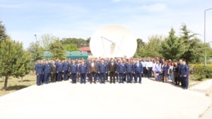
İMECE Uydusu, GÖKTÜRK-2B Adıyla Hava Kuvvetleri Komutanlığı Envanterine Alındı
TÜBİTAK UZAY, GEO Global Forum 2025’te Türkiye’yi Temsil Etti
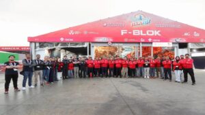
Türkiye’nin Uzay Yolculuğu, TEKNOFEST KKTC’de Kıbrıslı Katılımcılarla Buluştu
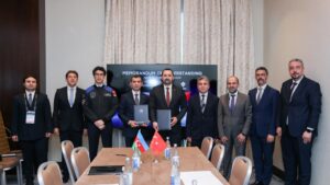
STC 2025’te Uluslararası İş Birliklerimizi Güçlendirdik
Personel İlanı Başvuru Sonuçları Açıklandı!
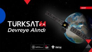
TÜRKSAT 6A Devreye Alındı
HAKKIMIZDA
Biz Kimiz?
TÜBİTAK UZAY, hızla gelişen uzay teknolojileri alanında Türkiye’nin lider araştırma ve geliştirme kuruluşudur. Ülkemizin teknolojik bağımsızlığını sağlamak amacıyla yerli ve millî operasyonel uydular, haberleşme sistemleri, yıldız izler ve uçuş bilgisayarları gibi birçok alt sistem ve uygulama projesi geliştirmektedir.
UZAY
Teknoloji & Çözümler
UZAY
Alt Yapılar & Hizmetler
Hızla gelişen uzay teknolojileri alanında Türkiye’nin lider araştırma ve geliştirme kuruluşu olan TÜBİTAK UZAY, 2001 yılından bu yana uydu teknolojileri araştırma ve geliştirme alanında faaliyet göstermektedir. Ürün portfolyosunda, ülkemize başarıyla hizmet eden BİLSAT, RASAT, GÖKTÜRK-2 ve İMECE uyduları bulunan Enstitümüz, sistem ve alt sistem seviyesindeki tüm süreçlerinde (AIT vb.) güvenilirliğini operasyonel ürünleriyle kanıtlamıştır.
Öyle ki tasarım ömrü üç yıl olan RASAT uydusu tam 11 yıl boyunca başarıyla görev yaparak yakın zamanda emekliye ayrılmıştır. GÖKTÜRK-2 ve İMECE uyduları ise, yerli ve millî imkânlarla gerçekleştirilen alt sistem ve bileşenleriyle hâlen başarıyla hizmet vermeye devam etmektedir.
TÜBİTAK UZAY gerek altyapıları üzerinden verdiği hizmetlerle gerekse danışmanlıklar üzerinden gerçekleştirdiği bilgi aktarımlarıyla uzay alanındaki ihtiyaçlara cevap vermektedir.
Bizimle
Çalışmak
Araştırmak
Geliştirmek
İster misiniz?
Do you want to
Work
Research
Develop
with us?
TÜBİTAK İş Başvuru Sistemi üzerinden yayında olan ilanlarımıza ulaşarak başvuru yapabilirsiniz.


