
UZAY
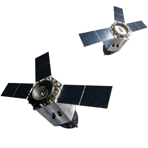
İMECE-2 ve İMECE-3 (TstarL-101)
Türkiye’s First Sub-Meter Resolution Earth Observation Satellite Constellation
Project Goal
Meeting Türkiye's military and civilian high-resolution imaging needs through indigenous and national capabilities
Target Applications
Equipped with high-resolution electro-optical imaging hardware and their dual-use nature, the İMECE-2 and İMECE-3 satellites will serve both public institutions and the private sector stakeholders in the following areas:
- Cartography & Geographic Information Systems (GIS)
- Precision Agriculture
- Environmental Control
- Forestry Management
- Urban Development
- Infrastructure Inspection
- Maritime Surveillance
- Disaster Response
Scheduled Launch Dates
İMECE-2: Q4 2027
İMECE-3: Q4 2028