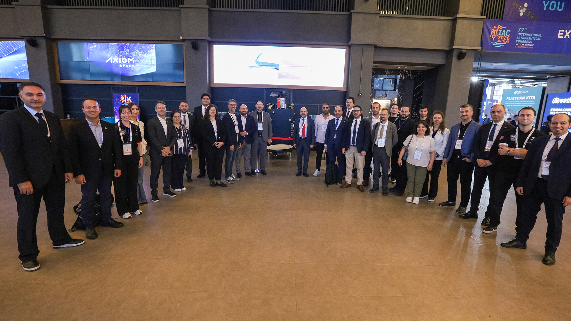


Hosted by Türkiye in Ankara on July 7-8, 2026, the 36th NATO Heads of State and Government Summit served as a significant platform highlighting Türkiye’s expertise in space technologies on the international stage.
During the NATO Summit Defence Industry Forum (NSDIF26) on July 7, NATO Deputy Secretary General Radmila Šekerinska evaluated the high-budget defense industry projects of allied nations and announced the development of two new high-resolution Earth observation satellites by the TÜBİTAK Space Technologies Research Institute (TÜBİTAK UZAY).
The Earth observation satellites highlighted in Šekerinska’s speech refer to the İMECE-2 and İMECE-3 satellites, currently being developed at our Institute under the High-Resolution Satellite Constellation Development Project (TUGEP). These new satellites are built upon the knowledge, systems engineering expertise, and indigenous satellite development capabilities gained from İMECE, Türkiye’s first sub-meter resolution Earth observation satellite.
Based on the TstarL satellite platform, these next-generation satellites are designed to operate alongside the existing İMECE satellite to establish a constellation architecture. This integrated approach aims to image larger areas in shorter timeframes, reduce revisit times, and significantly enhance our national space-based Earth observation capacity. Transferring critical subsystem technologies developed for the İMECE satellite, including the platform, electro-optical camera, flight computer, star tracker, reaction wheel, and power management systems, to these new projects will further strengthen Türkiye’s technology ecosystem in Earth observation.
Equipped with high-resolution electro-optical imaging hardware, the İMECE-2 and İMECE-3 satellites will address critical needs across multiple areas, primarily security, disaster management, environmental and climate monitoring, agricultural production tracking, water resource management, forest fire detection, urban planning and the sustainable use of natural resources. Representing an important step in Türkiye’s transition towards satellite constellation capabilities and its long-term goal of achieving sustainable competence in space technologies, the data generated by these satellites will support a wide range of applications. Their dual-use nature will enable both public institutions and private-sector stakeholders to benefit from the information provided, serving diverse needs ranging from scientific research to economic planning.